We provide high-frequency 3D maps and digital twin platforms that empower Digital Twin, Surveying and Geospatial, Land Management, and National Security and Public Safety, among others. Our data-driven solutions enable governments and businesses to make faster decisions, optimize operations, and enhance risk management and business resilience.
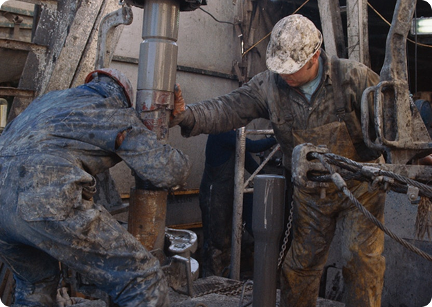
As the population declines and the population ages, there is a need for technologies to replace on-site visual confirmation, such as maintenance and patrols in the infrastructure industry and management and simulation of urban development.
At the site, changes from the current situation are checked once a week to once a month.
The cost of supporting on-site response (Safe execution of work in urban and mountainous areas, consideration of differences in confirmation results depending on proficiency, etc.) is also increasing.
By extracting necessary information according to the industry from satellite images and creating a mechanism that is easier for everyone to use, it is possible to obtain reliable and safe homogeneous information in a short period of time.
By changing the contract from monthly to annual, it is possible to keep track of changes at all times.
It is possible to keep track of changes at all times.

In the field using aerial photographs for public and private maps, they are updated once every several years at a high cost.
While aerial photographs require high resolution and high positional accuracy with a resolution of 40 cm or more and a positional accuracy of 1:2500 or more, it is difficult to predict the construction period due to weather and other factors, and the cost is high, so there are problems for municipalities and the private sector to use them continuously.
By using satellite images that are updated once a year or once every few months in urban areas, it is possible to use the latest maps at low cost.
By making it possible to update maps using satellite images that can be used for maps with a positional accuracy of 1:2500, it is possible to create highly accurate maps all over the world.
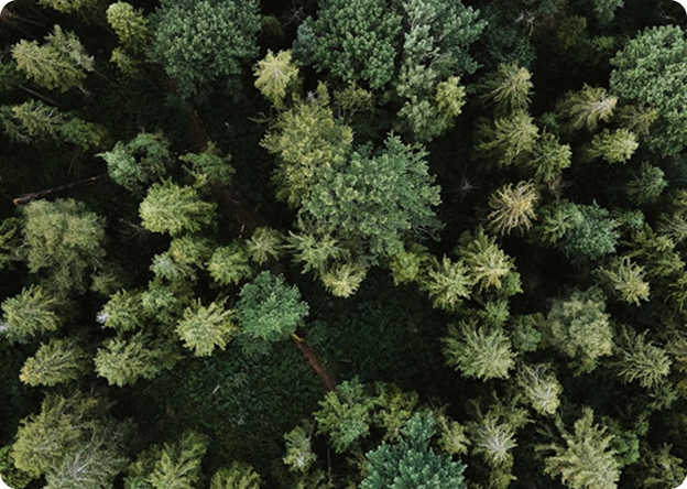
In order to capture changes in the land use situation of the whole country such as farmland and forest, it is necessary to take images over several years using aircraft, and sometimes the update is slow and does not correspond to the land change of the whole country.
By utilizing satellite images, the update frequency has been increased in recent years, but there is also a problem in uniform photographing including mountainous areas.
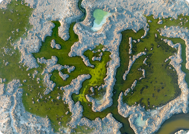
By using satellite images that can update the whole country once a year, it is possible to use the latest map uniformly.
It is possible to obtain the information of the continuous national land transformation by taking wide area and uniform photographing of the whole world.
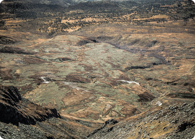
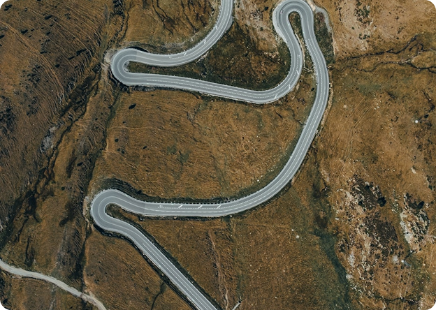
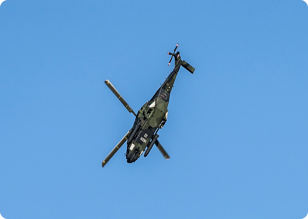
Situational changes mainly in 2D have been required, such as understanding landforms, changing landforms, and selecting transportation routes for vehicles and helicopters.
The use of 3D simulations has also expanded in the security field, such as simulating changes in individual buildings and human activities in virtual environments.